


Concept / Map
Map
A diagram showing places boundaries and routes in scaled arrangement
A diagram showing places boundaries and routes in scaled arrangement.

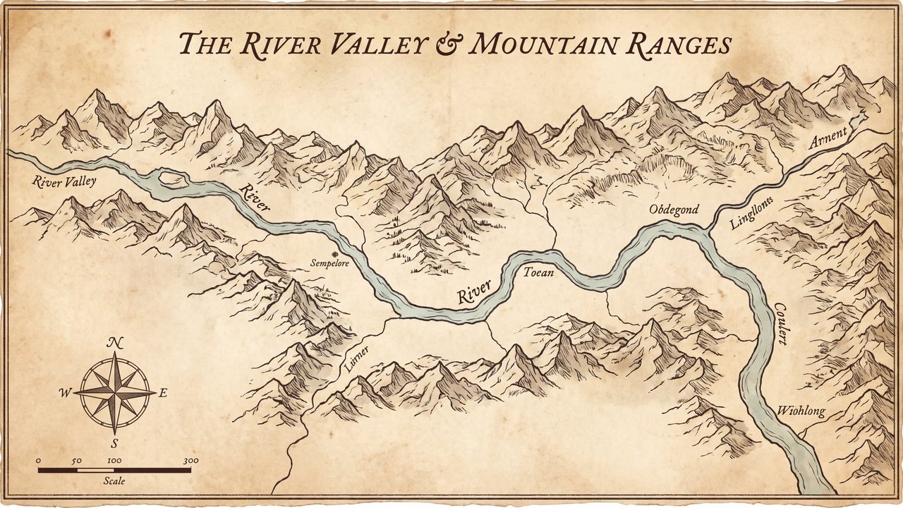
Valley with a river and mountain ranges
Both languages share the English example images. Japanese prompts are the recorded translations.
A phrase to start with
Arranges places and routes as a map.
Appearance and effects
Shows relationships among places through symbols routes and orientation.
Visual traits
- terrain symbols
- routes
- orientation
Expected changes
- Symbols and routes are more likely to appear
- Orientation and boundaries are more likely to be diagrammed
Five examples
1 — Medium-sized dog
Open image ↗2 — Cat
Open image ↗3 — Teenage boy
Open image ↗4 — Unoccupied interior
Open image ↗5 — Valley with a river and mountain ranges
Open image ↗Meaning and scope
Definition
A diagram showing places boundaries and routes in scaled arrangement. It does not guarantee accurate positions boundaries or navigation.
In more detail
It places terrain symbols routes and orientation so relationships among places can be read. Geographic information requires separate verification.
Includes
- Maps depicting places and routes
Excludes
- Accurate navigation
- Legal boundaries
- On-site safety information
What this does not imply
- Accurate locations
- Legal boundaries
- Safe routes
Variability
Because the source is a weakly direct general reference, geographic accuracy cannot be expected.
Usage and adjustments
Usage
- Visually distinguish places routes and orientation
- Verify geographic information separately
Distinguish similar expressions
- Use a verified map for actual travel
Typical uses
- Show relationships among places
- Diagram a route overview
Possible failure modes
- Place names or boundaries break down
- Routes cannot be used for actual travel
Content updated:
From the same theme
Items linked through explicit membership in the same theme.

Valley with a river and mountain ranges
Concept
Idea relationship diagram
An explanatory diagram showing elements and relationships through lines and placement.
Compare ↗
Valley with a river and mountain ranges
Concept
Comic panel
A framed area that separates one unit of content.
Compare ↗